Google Earth
Program that allows users to view satellite images of Earth

Google Earth is a program that allows you to explore the planet, the stars and even certain celestial bodies using real satellite imagery and photographs. This standalone program relies on Google Internet servers in order to download and display various images of the world and skies. Google Earth has become an incredibly popular program with regular people, media outlets and the government. One reason is that the program has a very simple, accessible and intuitive interface. You can use your mouse and a few buttons on the screen to navigate around the globe. It also helps that Google Earth is a free program for most people to use.
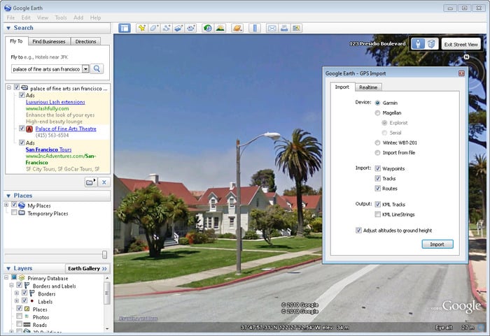
The concept behind Google Earth is very simple. The developers wanted to provide an interactive experience to people so that it is possible to get a better understanding of the planet. There is also a practical side of Google Earth. The program can easily be used to help find your way from one location to the next. The program allows you to set a destination and your starting position. It can then show you how to drive, walk or take public transportation to reach the area. Google Earth has become an invaluable tool for many people who need to travel regularly.
Google Earth gives users a view of the planet using a combination of many different image sources. You can view the planet as it might be seen from a low orbit. You can zoom in closer to interesting locations or landmarks. This is all possible because of high-resolution satellite imagery that has been collected for a long time. People using Google Earth are seeing actual images of the planet and not false three-dimensional renderings. The program allows you to scroll smoothly from orbit down to the very surface of the planet. This can provide some fascinating views of the world.
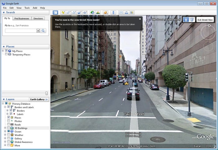
Google Earth has a special feature called street view that many people use today. Street view allows you to look at various parts of the world as if you were standing right on the ground in the middle of the area. You can use on-screen buttons or the keyboard to rotate the view around. You can walk down a path to see what moving through an area is like. Street view can be used to visit famous places or new cities without leaving home. It can also help people to navigate by showing what the buildings at a certain address really look like. The images used in street view are recorded on a special sets of cameras attached to vehicles that drive all around the world.
Google Earth is not limited just to this planet and the ground. The program has been continually updated to start including many images of the sky and other planets. You can use Google Earth to look up and see what constellations and stars are visible from nearly any position around the world. You now have the option to view images of Mars drawn from recent satellites. The program allows you to actually fly around through virtual space exploring the solar system and surrounding stars. This has made Google Earth an invaluable learning tool for many people interested in the stars and space.
Google Earth does have some problems that can be frustrating. The main problem is just how much power and bandwidth the program needs to run. You will need to have a fairly good and modern computer with plenty of memory to use the full application as intended. Another issue is that Google Earth needs to download large amounts of information from the Internet fast in order to provide users with a smooth experience. This can be a problem for people with inconsistent or slow connections.
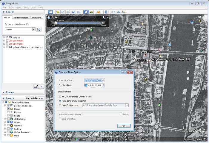
One final issue with Google Earth is the content in certain parts of the world. Although you can see many things through the program, it is not updated as regularly as most people would like. This is especially problematic when trying to use the program to navigate across a region or find detailed information about an area. Some of the satellite images are many years old. Certain information about cities is outdated. This can lead to situations where Google Earth is showing you forests, parks or roads that simply do not exist anymore. Additionally, some of the images on Google Earth have artifacts or irregularities present. These image artifacts are caused by the technology. They can potentially give you a skewed idea about what something looks like.
Google Earth is one of the most popular programs around today. People in all industries and walks of life use the program for business and out of personal curiosity. Google is adding new features, images and maps to the program all the time. Google Earth is an application that is worth downloading and using on a regular basis.
Pros
- Explore the entire world from home
- Simple and intuitive interface
- Constantly updated
Cons
- Some images and maps are outdated
- Requires a fast computer and Internet connection to run smoothly